Calculate the distance between a pair of spatial boundaries
Arguments
- x, y
Objects of the class
slendr- measure
How to measure distance? This can be either
'border'(distance between the borders ofxandy) or'center'(distance between their centroids).- time
Time closest to the spatial maps of
xandyif they representslendr_poppopulation boundaries (ignored for generalslendr_regionobjects)
Value
If the coordinate reference system was specified, a distance in projected units (i.e. meters) is returned. Otherwise the function returns a normal Euclidean distance.
Examples
# create two regions on a blank abstract landscape
region_a <- region("A", center = c(20, 50), radius = 20)
region_b <- region("B", center = c(80, 50), radius = 20)
plot_map(region_a, region_b)
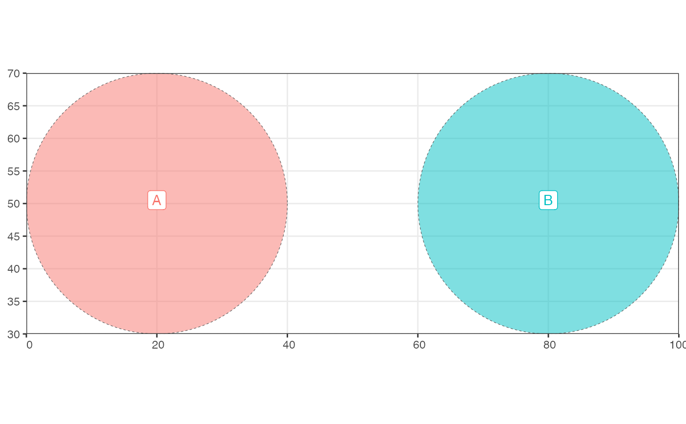 # compute the distance between the centers of both population ranges
distance(region_a, region_b, measure = "center")
#> [1] 60
# compute the distance between the borders of both population ranges
distance(region_a, region_b, measure = "border")
#> [1] 20
# compute the distance between the centers of both population ranges
distance(region_a, region_b, measure = "center")
#> [1] 60
# compute the distance between the borders of both population ranges
distance(region_a, region_b, measure = "border")
#> [1] 20